GEORGIAN BAY
A E R I A L
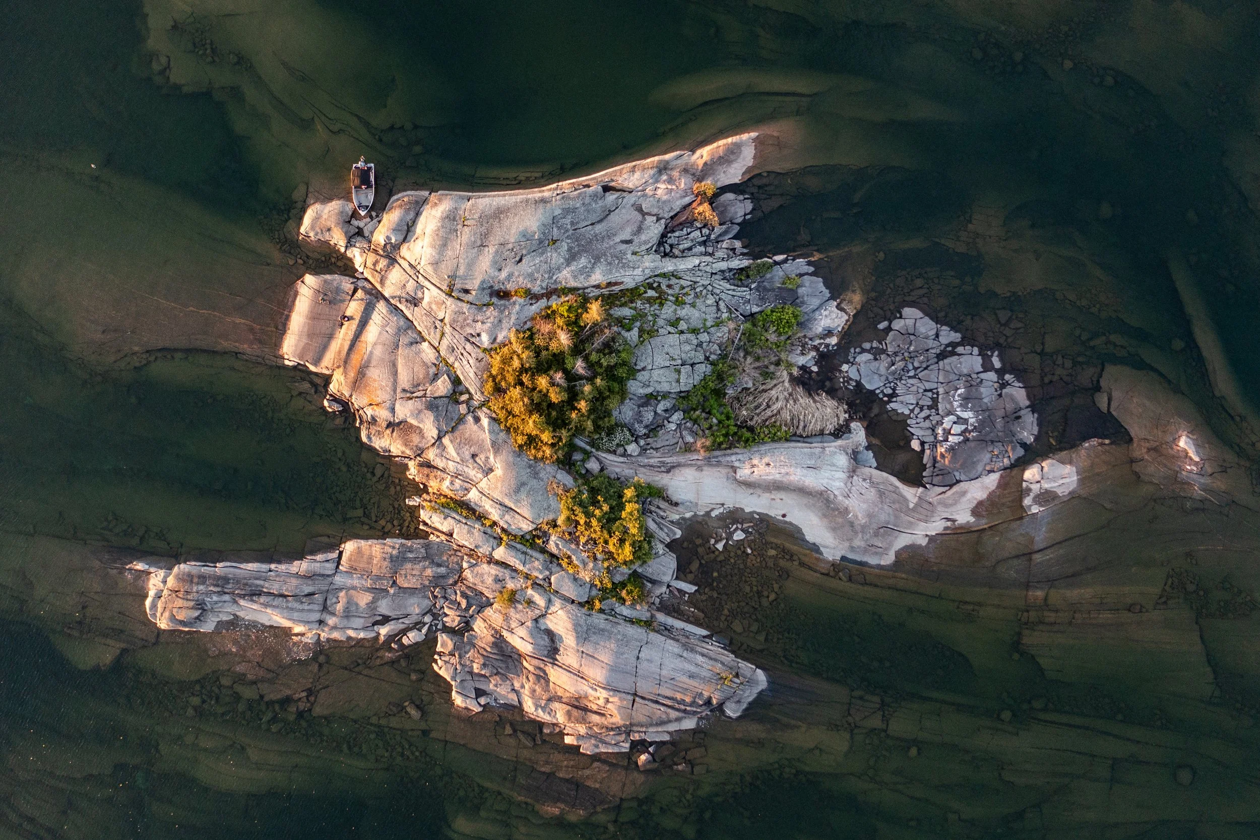
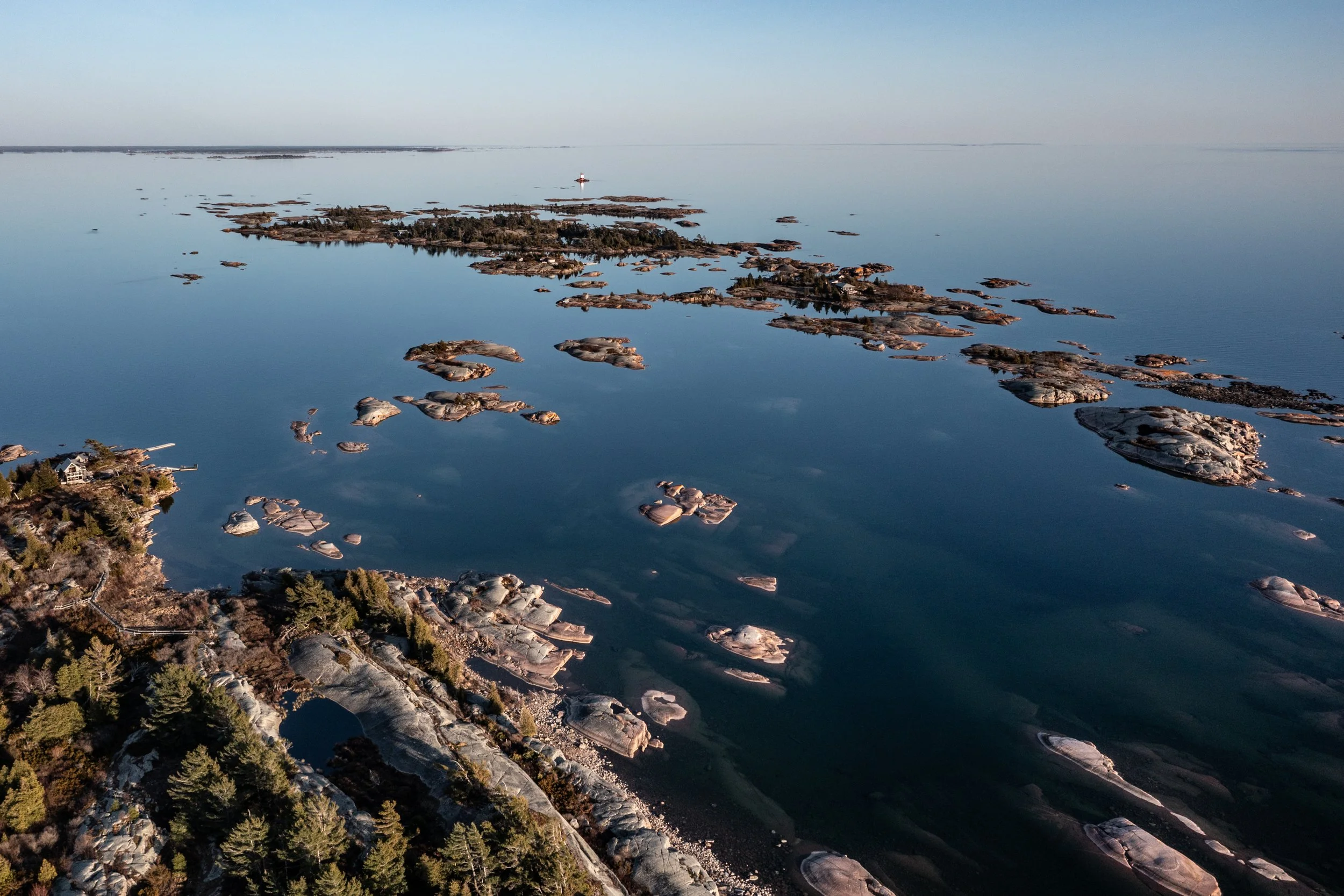
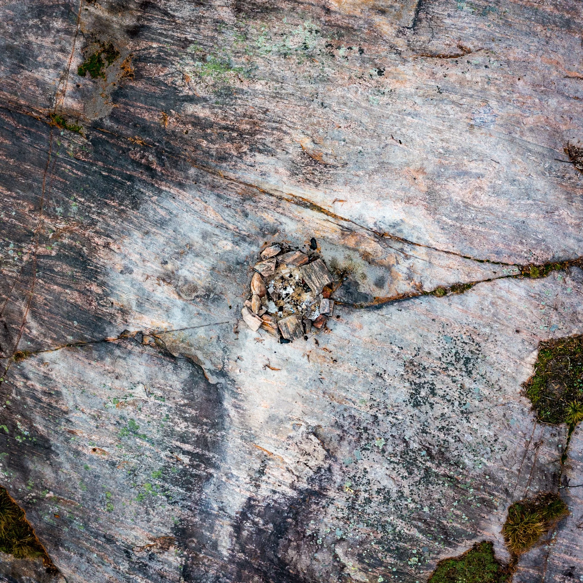
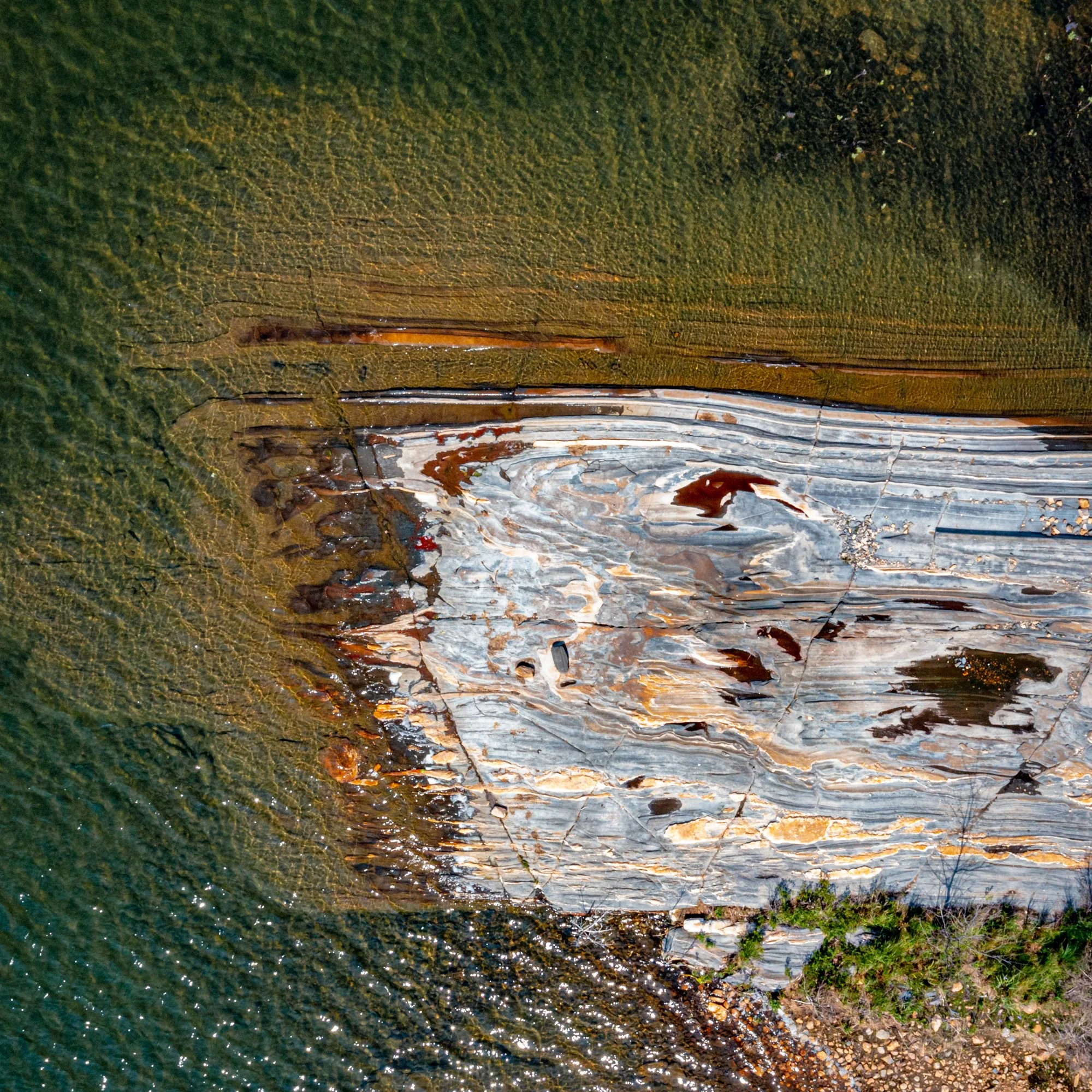
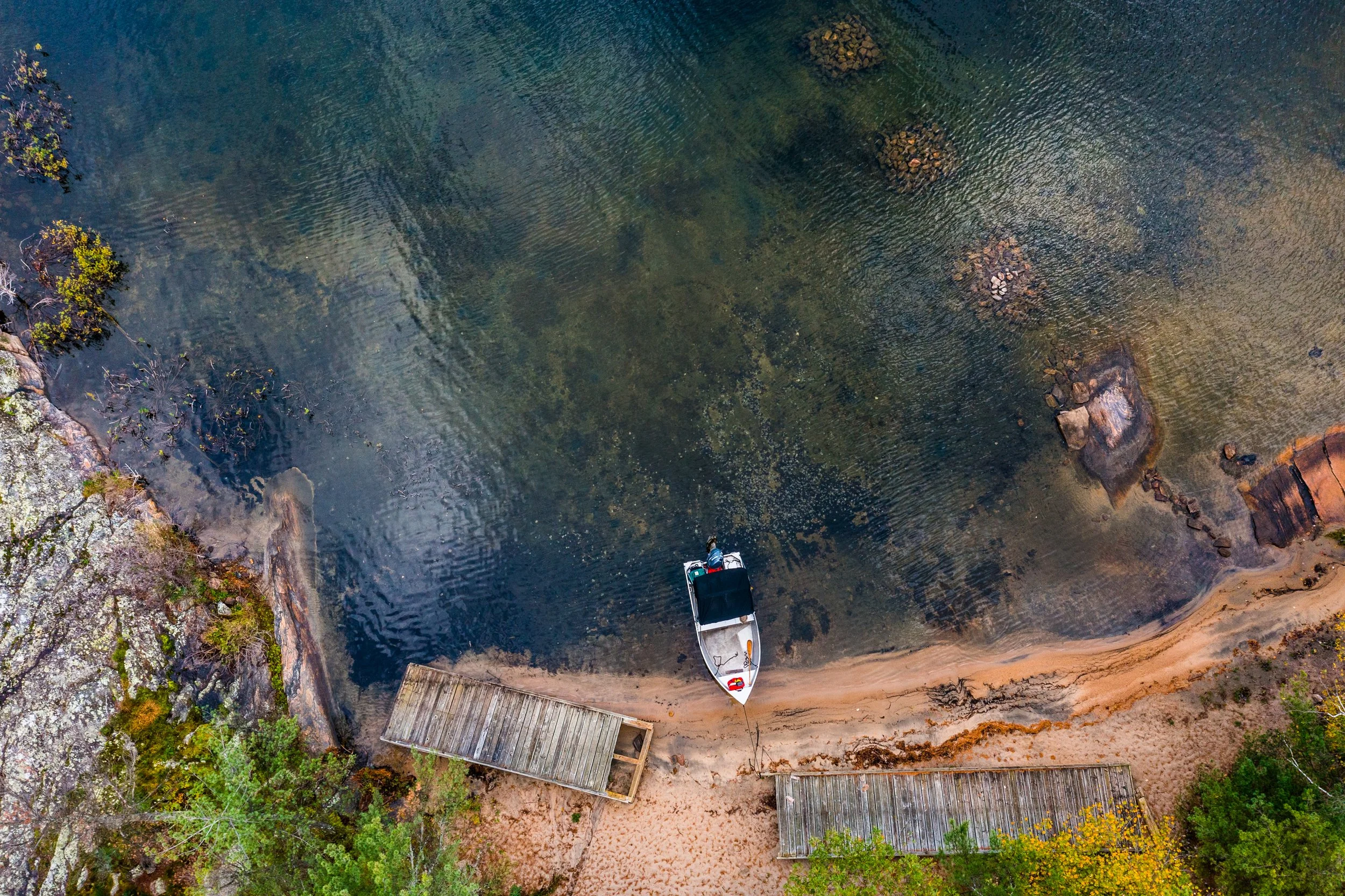
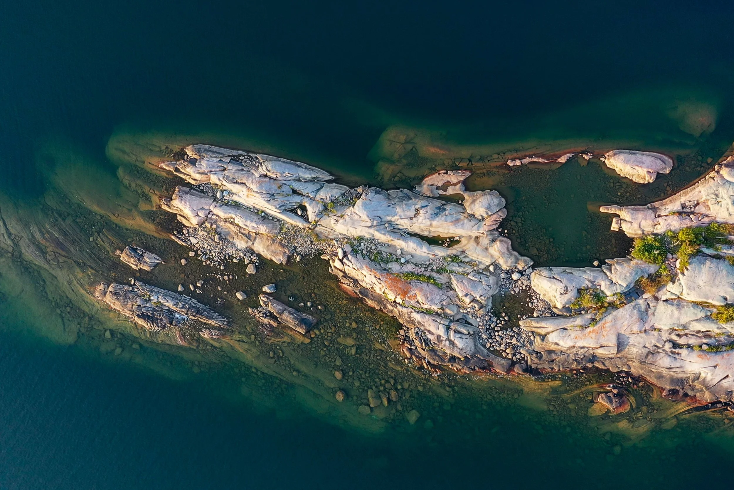
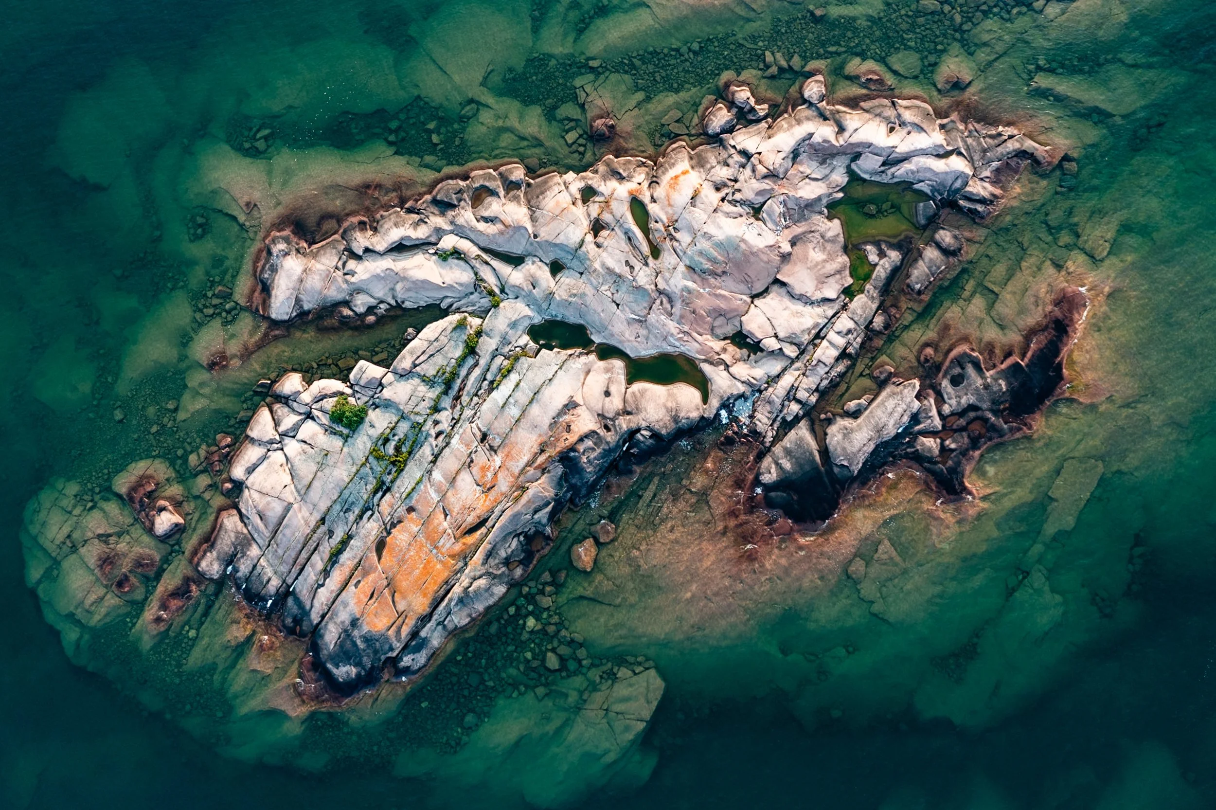
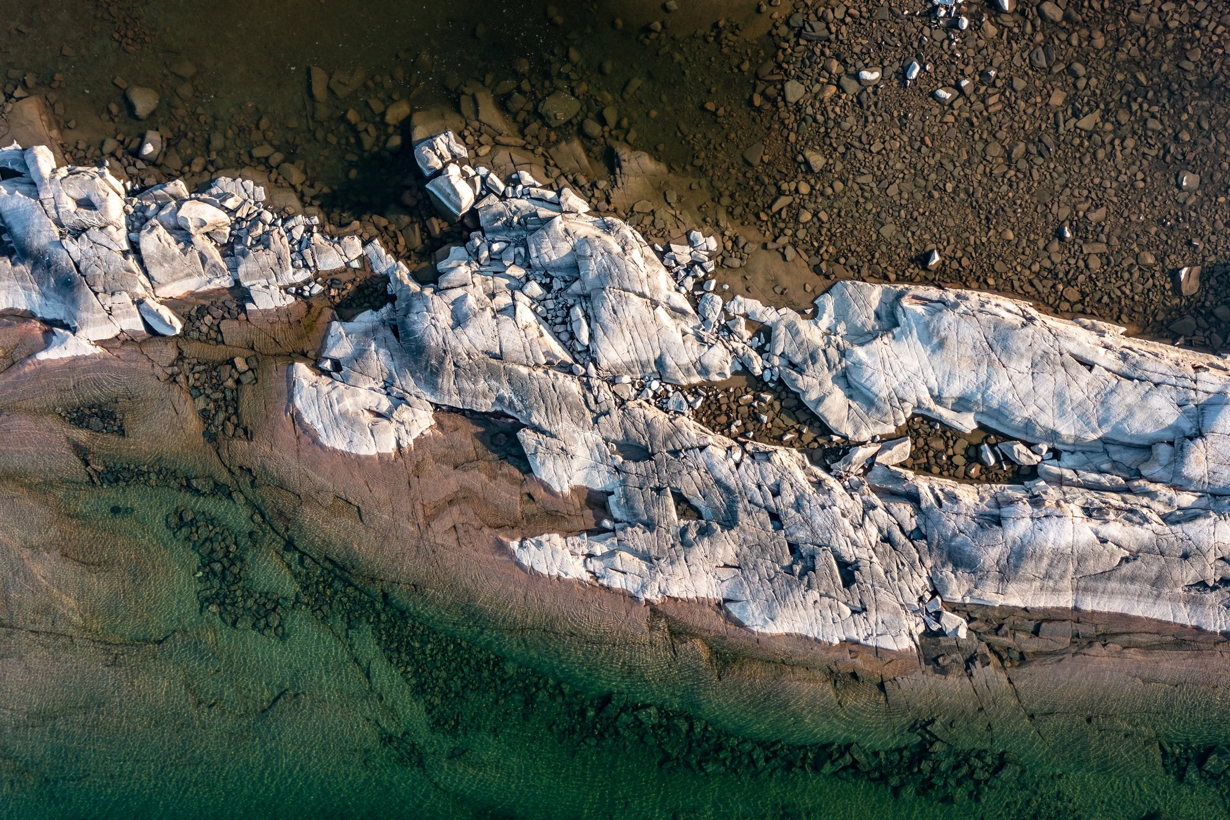
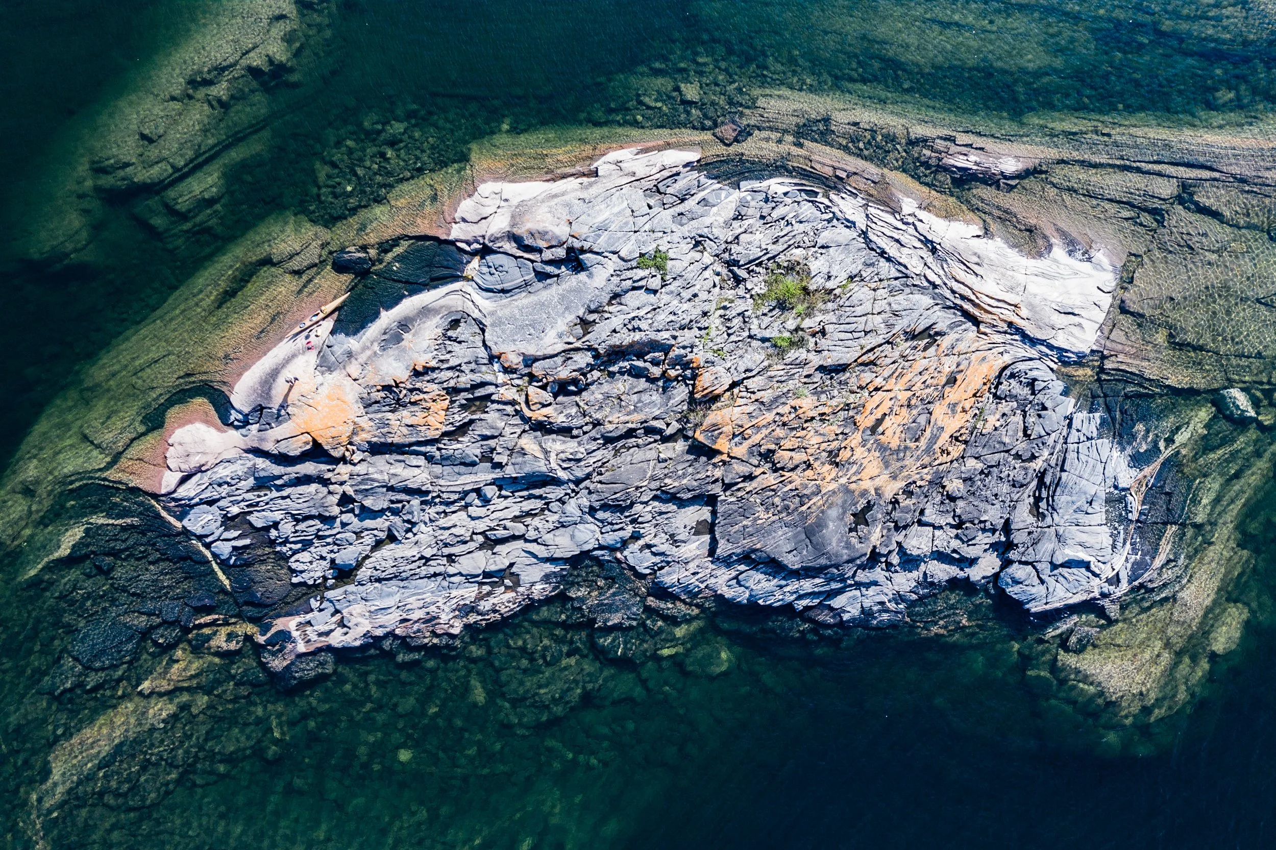
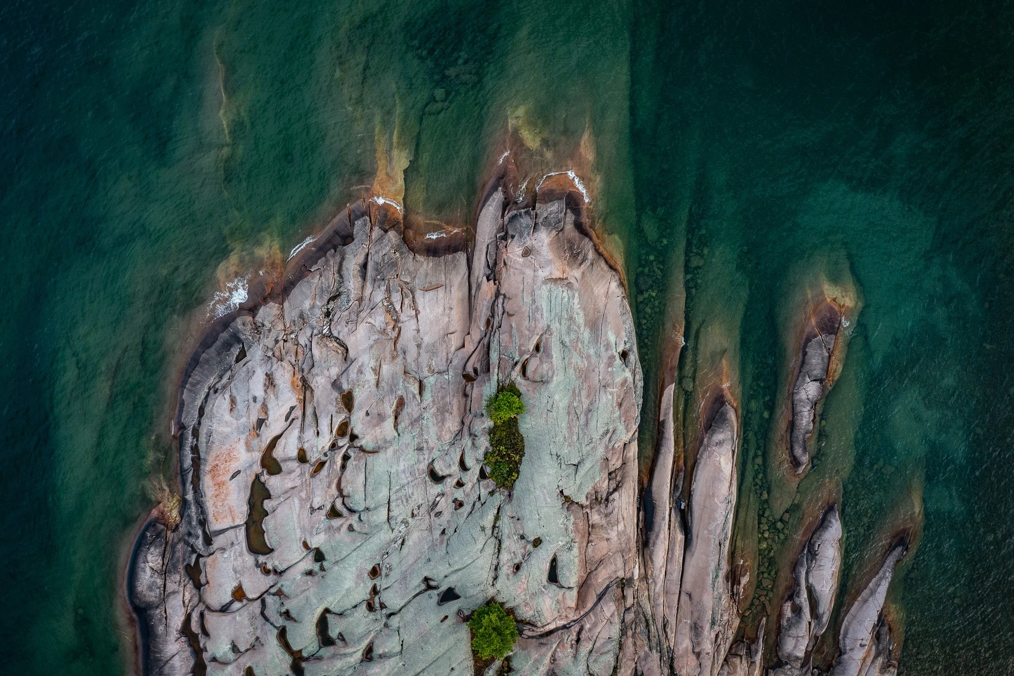
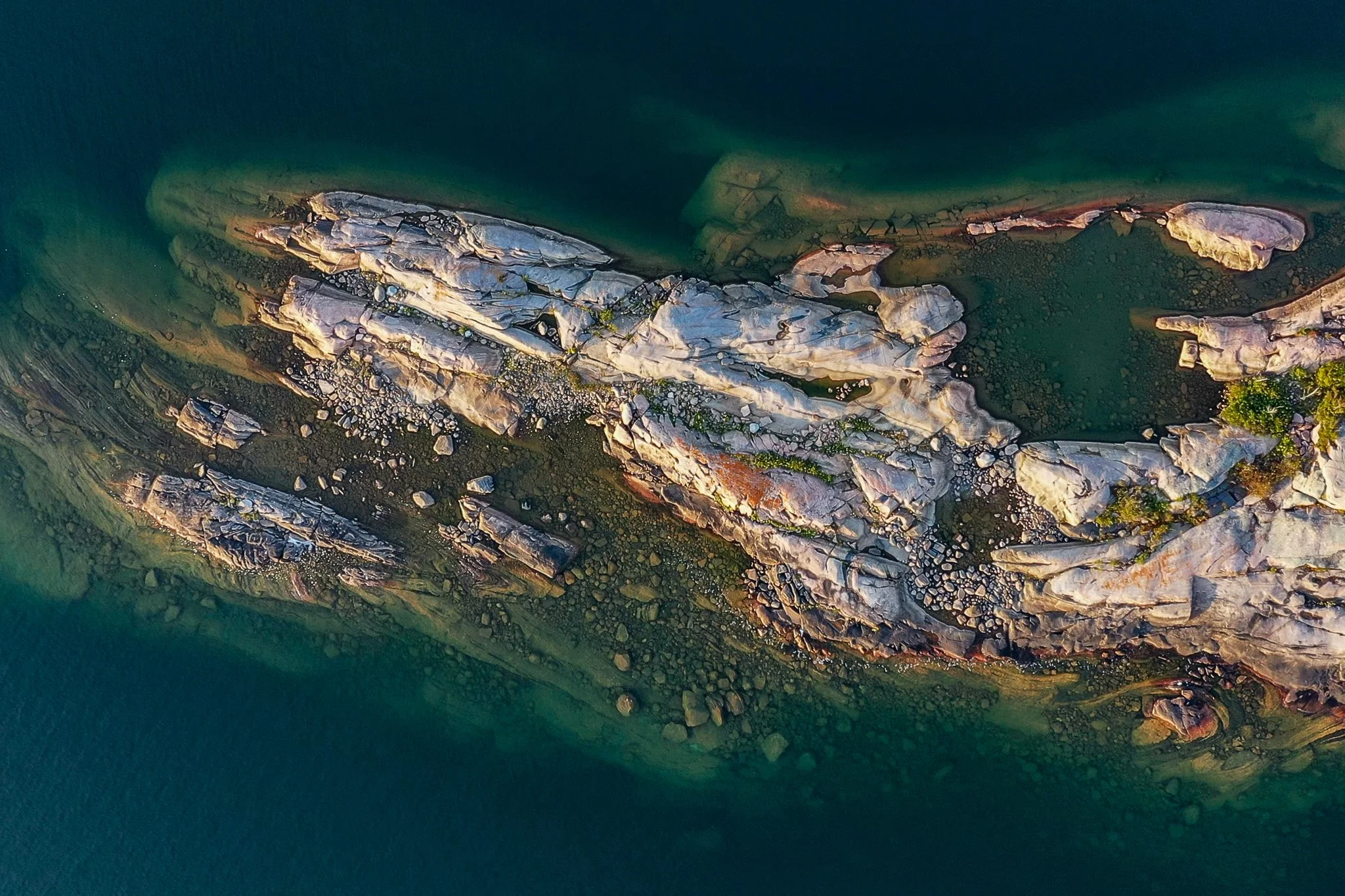
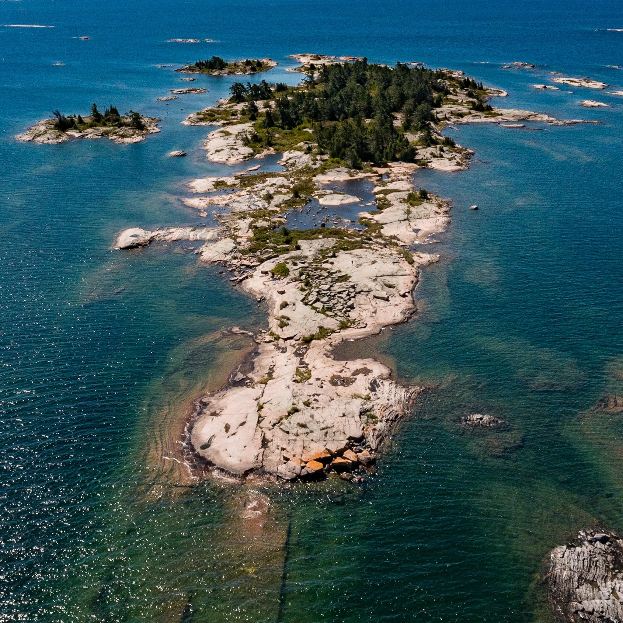
My interest in using a drone began with the frustration I found in capturing the two dimensional landscape of Georgian Bay. There is so little elevation that the landscape is often little more than a rock and trees and a horizon. I always felt that if I could just get up in the air it would afford me a view of the place that I always wanted to see.
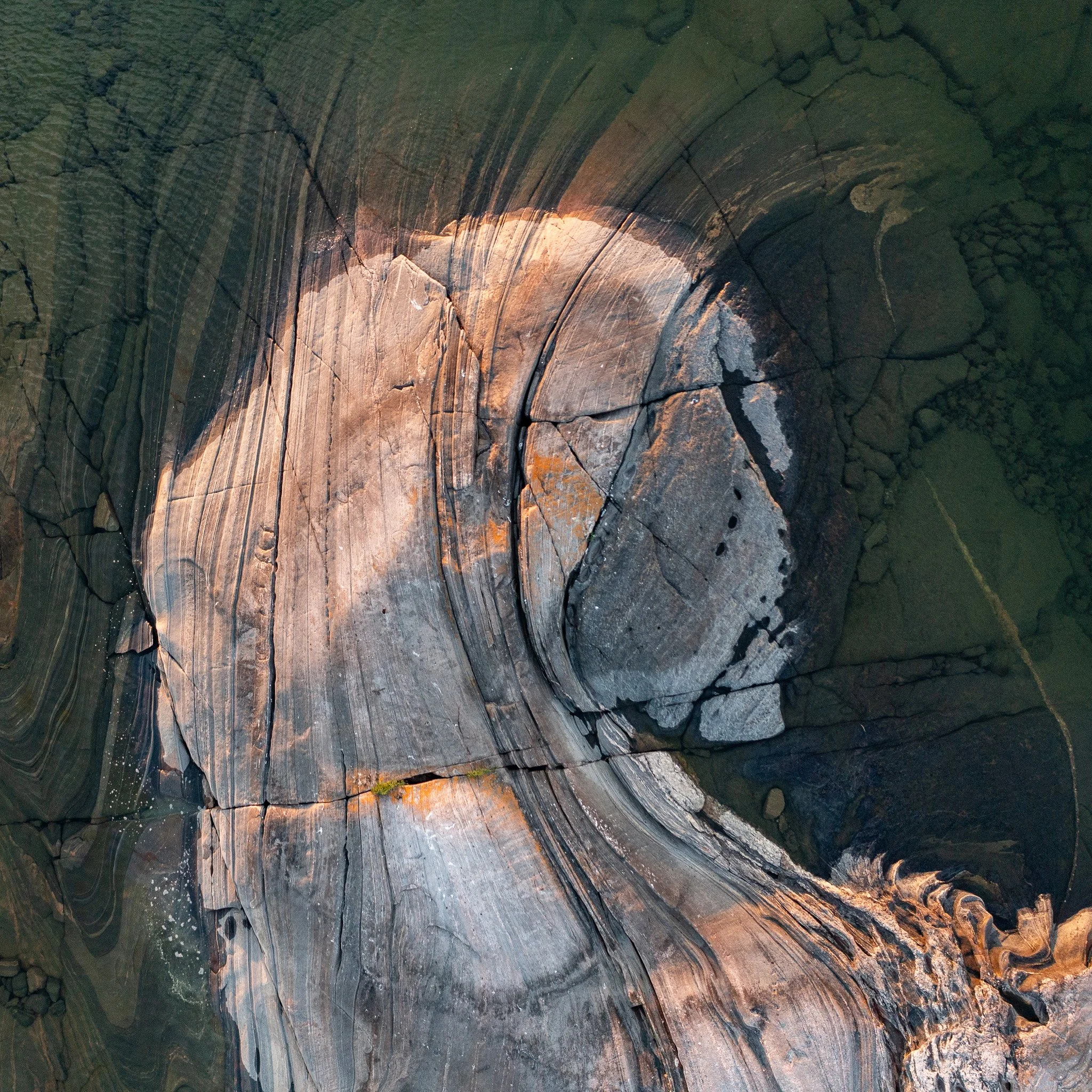
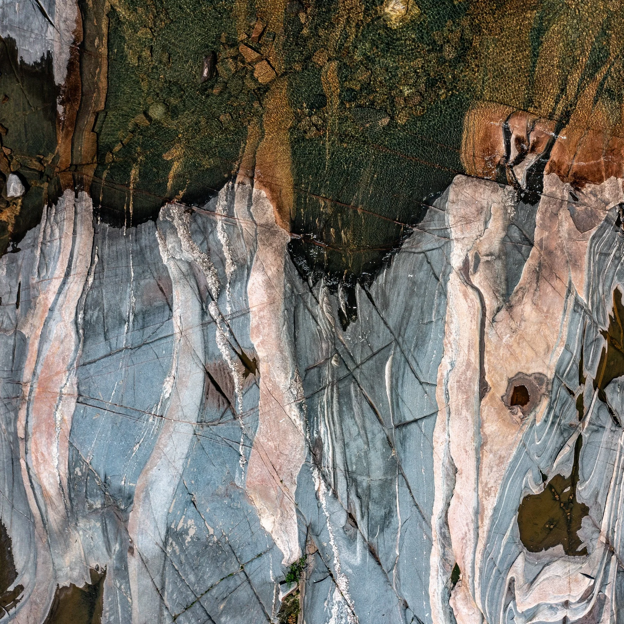
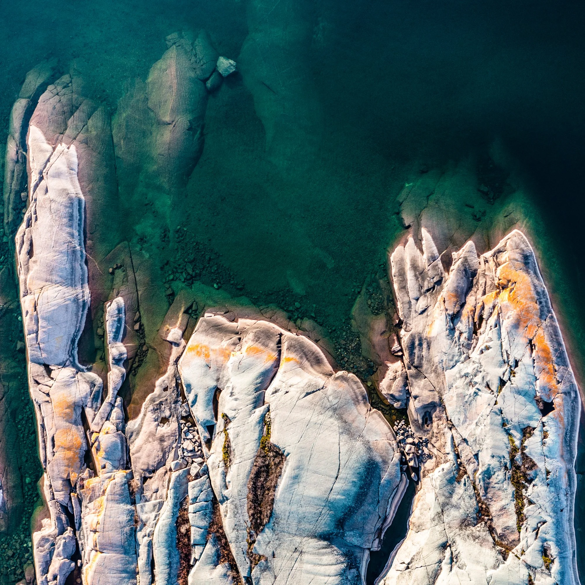
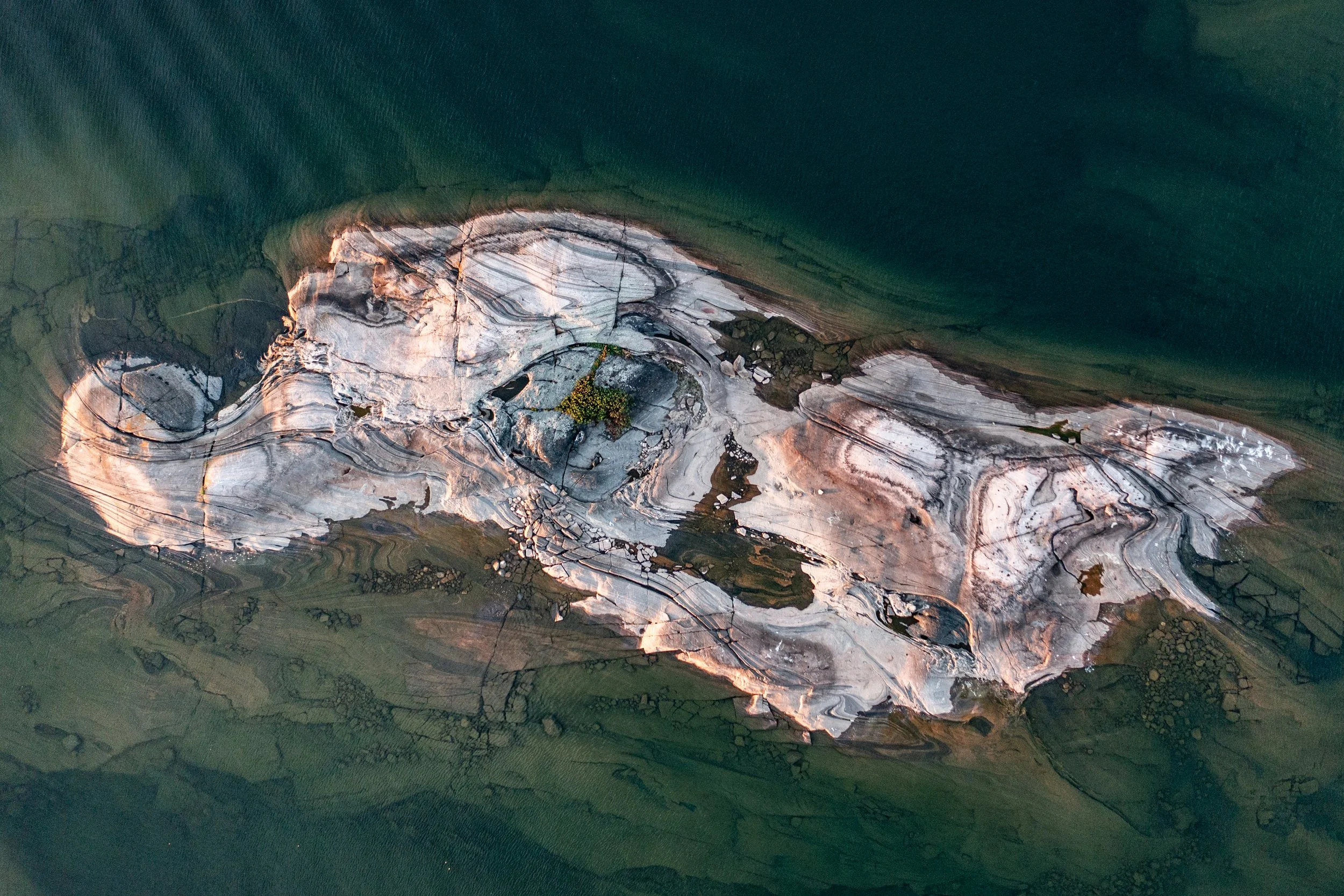
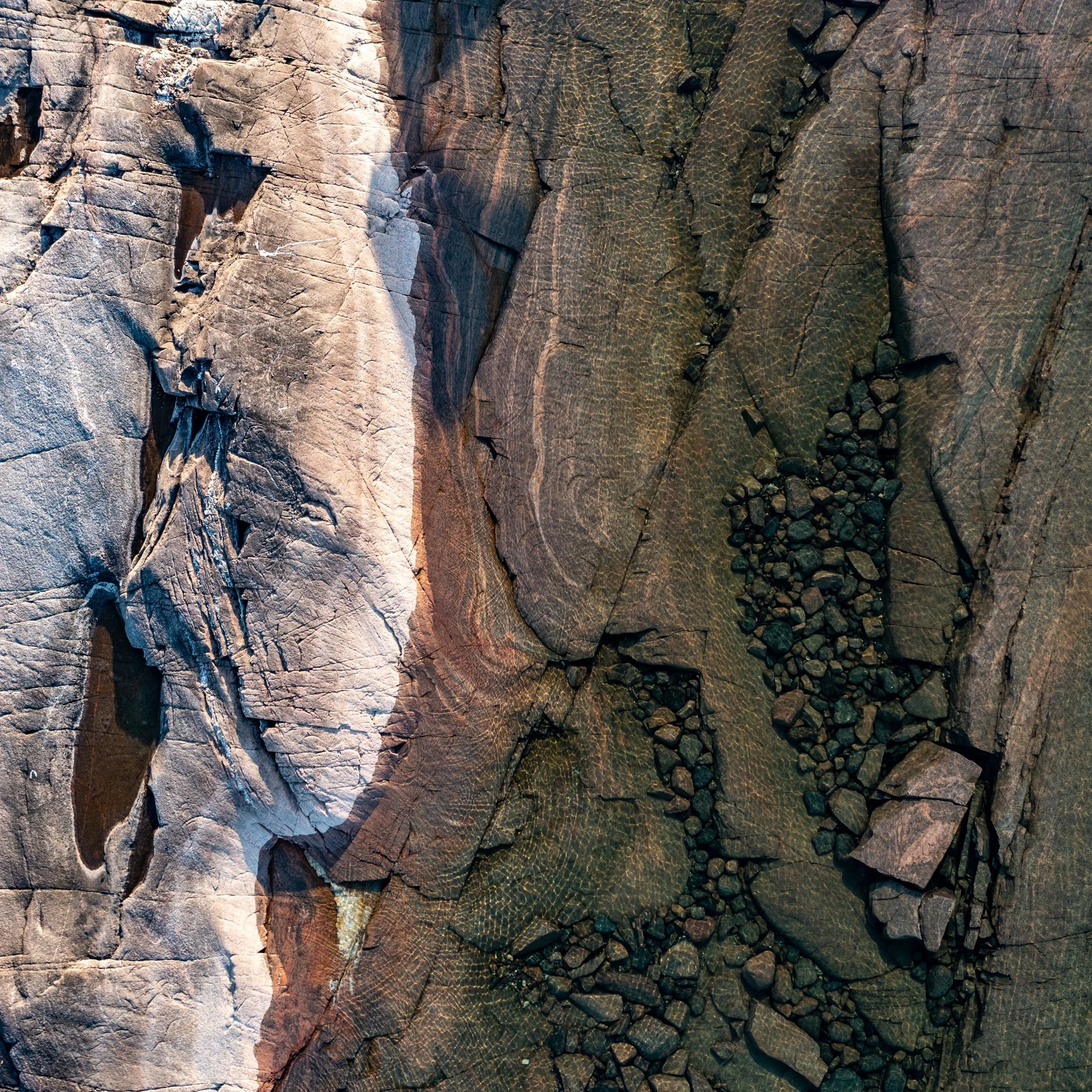
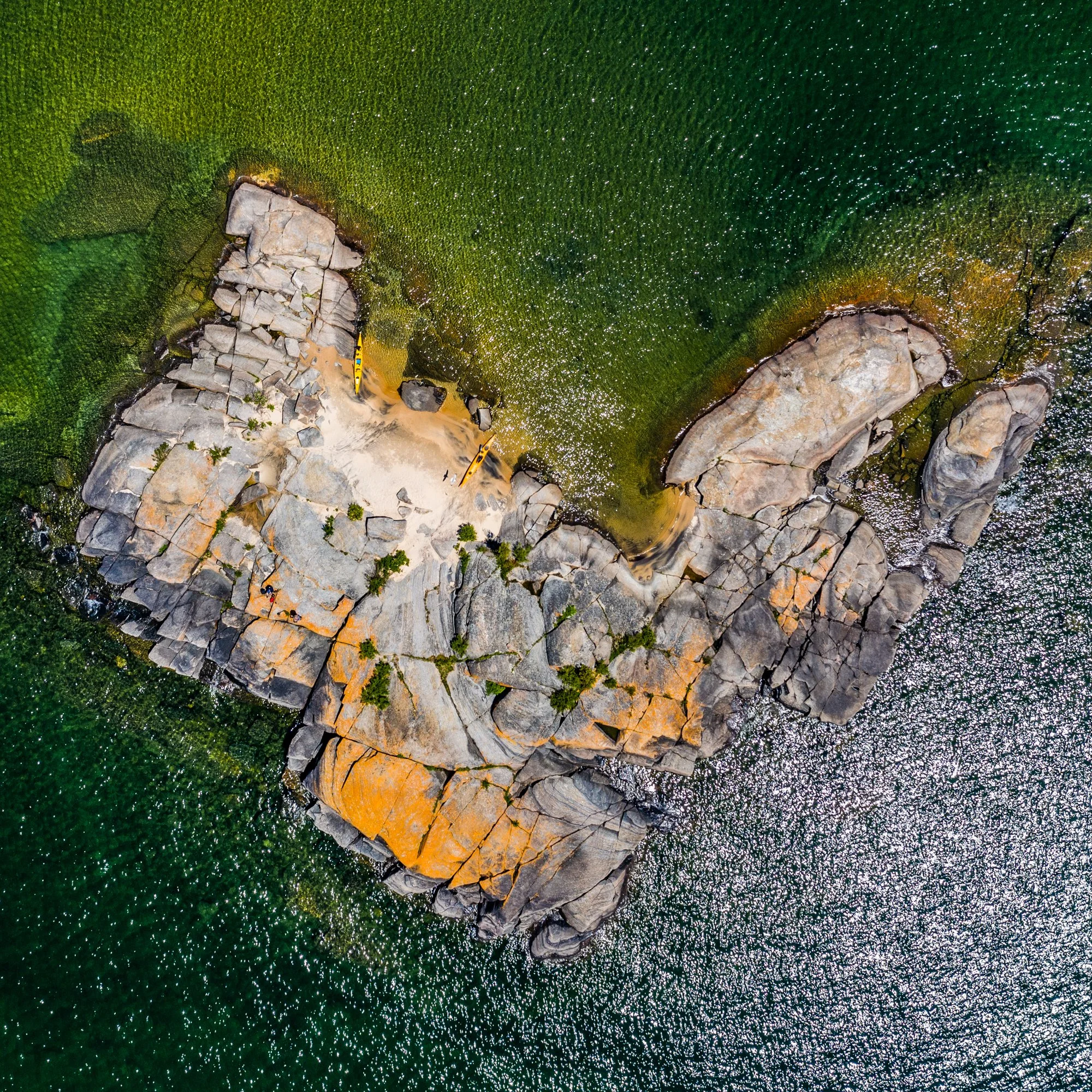
For those who have had the privilege of flying in a small plane above the thirty thousand islands that make up the Bay’s eastern coast, you can appreciate the change in perspective. Drone images of the Bay were a revelation. The rocks were flattened and expressed horizontally in a way I had never seen them, the clarity of the water revealed the shape of the hidden lakebed, and the landscape became more graphic and painterly.